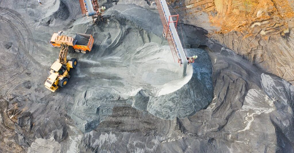
Location: Minerals Quarry in the South of England
Service: Tracing all buried utility services i.e. Electric, Water, Sewerage, Telecoms etc.
Interlocks was commissioned to trace the buried services on a busy working site and deliver an accurate plan showing their positions.
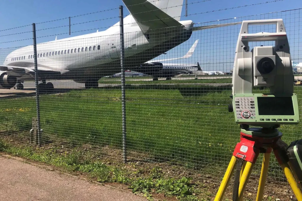
We provided three Surveyors for ten days on site to trace all buried services using Ground Penetrating Radar (GPR) and Electromagnetic Location (CAT Scanner) to PAS 128 Standard.
By providing an accurate plan of the site and showing where the buried cables were positioned it ensured that the workforce could remain safe from utility damage during quarrying operations. It also stopped damage and delays which in turn reduced operating costs.