3D LASER SCANNING
With increasing demand for 3D data, Interlocks Surveys has invested in the latest laser scanning equipment, enabling us to document the current status of land, buildings and other structures, in 3D format and with unprecedented levels of detail and accuracy.
3D laser scanning has a range of applications and our clients can now benefit from:
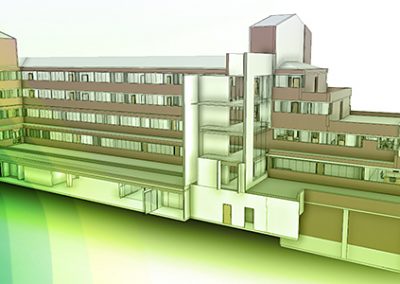
- Enhanced topographical maps and measured building surveys. From these, 2D and 3D CAD views can be generated along with highly precise distance, area and volume measurements.
- The capture of existing infrastructure, such as roads, where high density long range data is required.
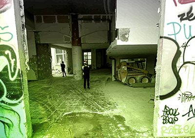
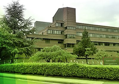
- Quality documentation of heritage sites and historical buildings on which to base future plans for renovation or modernisation.
- Accurate, as-built documentation of industrial facilities for redesign and revamp projects, or for updating existing plant documentation.
- Building Information Modelling (BIM) – the capture of as-built and as-is conditions for MEP and structural contractors on virtual design and construction projects.
Due to the speed of data capture, site time is dramatically reduced and the complete digital data set can usually be recorded within a single visit. The data can then be processed on an as needed basis, with varying levels of detail extracted to meet changing project requirements.
For further information about our 3D laser scanning services and to discuss your requirements, please contact us.