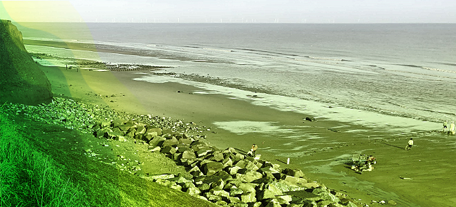
Topographical – Sea to Shore Gas Pipeline Installation – Easington, Lincolnshire

Service: Topographical Survey, Sea to Shore Gas Pipeline Installation
Client Requirements: The Client required a topographical survey from the low tide position on the beach through the site to the proposed housing position of the gas line within the terminal.
Our Role: The team undertook a full topographical survey from site terminal, across difficult terrain down the cliffs and out to the low tide position. We established co-ordinates and level for proposed geotechnical boreholes which was also required by the client. All of our National Grid survey data was transformed to Universal Transverse Mercator co-ordinates and level to allow for offshore reference when the pipe was being laid from ship to shore.
Clients Benefits: Interlocks Surveys provided the expertise required to provide the survey in both ordnance survey National grid with levels related to ordnance datum and UTM (project zone 31N) Based on ED50 common offshore datum with levels to Easington site tidal datum.