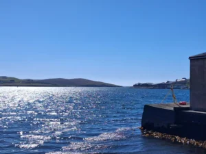
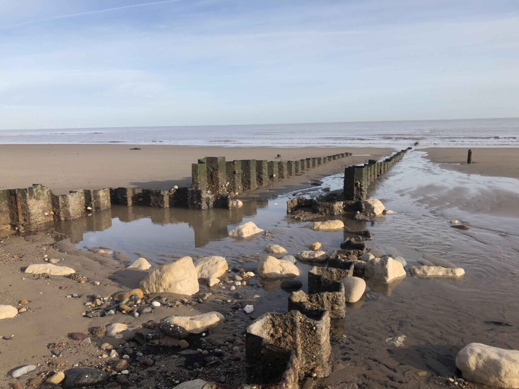
Location: Harbour of Scalloway, Shetland Islands, Scotland
Service: Topographical Surveys, CCTV Drainage Surveys
Integrated Topographical and CCTV Survey for Flood Modelling Assessment
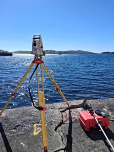
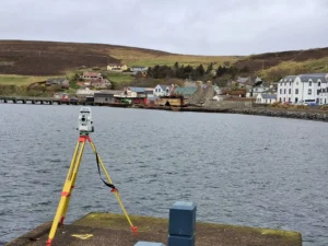
Our team undertook a detailed topographical and drainage investigation across the harbour of Scalloway in Shetland to support the development of a comprehensive flood modelling study.
Following discussion of end use with the client the survey was completed to a higher accuracy than the original specification, delivering data equivalent to RICS Band D accuracy and providing a robust foundation for hydraulic analysis and flood risk assessment. Whilst our presence in Scotland allowed for rapid mobilisation, the remote nature is the Islands meant that data capture had to be right first time, as a 12-hour ferry ride to accommodate equipment meant that there was little appetite for a return visit.
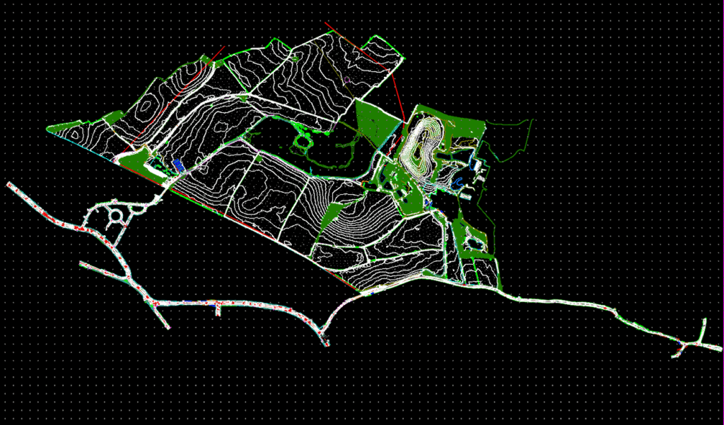
The topographical survey captured all relevant surface features, including roads, kerb lines, drainage infrastructure, buildings, hardstanding areas, watercourses, boundaries, street furniture, and significant changes in terrain. A dense level network was established across the site, with additional spot levels collected at drainage assets, changes in gradient, embankments, and flow paths.
The survey was referenced to The Lerwick local datum, unique to Shetland. For mapping and construction, the local Lerwick Ordnance Datum sits approximately 240 mm below the UK national mainland datum (Ordnance Datum Newlyn).The specific vertical reference systems used in Shetland, Scotland differ from mainland UK datums due to regional tide variations and island topography.
The resulting dataset was processed into a fully triangulated 3D Digital Terrain Model (DTM), providing an accurate representation of the site’s surface characteristics for flood modelling and hydraulic design purposes.
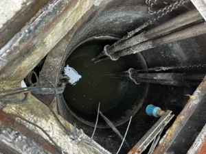
In parallel, a detailed CCTV drainage survey was undertaken to establish the condition, connectivity and operational performance of both the surface water and combined sewer networks. Surveys were completed in accordance with BS EN 13508 (investigation and assessment of drain and sewer systems outside buildings,) and the Water Research Centre’s Manual of Sewer Condition Classification. All manholes, inspection chambers, pipe connections, and drainage runs were accurately surveyed and tied into the topographical model. Pipe diameters, materials, invert levels, gradients and structural defects were also recorded, allowing the underground network to be accurately represented within the hydraulic model.
A key outcome of the investigation was the identification of tidal influence within the drainage network. CCTV observations recorded surcharge conditions and flooding within the Combined Sewer Overflow (CSO) structure during periods of high tide.
The survey evidence demonstrated that tidal locking at the outfall was restricting discharge from the sewer system, causing water levels to back up through the network. This resulted in reduced hydraulic capacity and contributed to blockages and surcharging within upstream drainage assets. The CCTV footage and associated level data provided critical evidence of the interaction between tidal conditions and network performance, enabling these constraints to be incorporated into the subsequent flood modelling exercise.
By combining high-accuracy topographical survey data, a detailed 3D terrain model and comprehensive drainage condition information, the project team was able to develop a reliable representation of both overland and underground flow mechanisms. This integrated dataset provided the foundation for robust flood modelling, identification of network constraints and the development of targeted drainage improvement solutions.