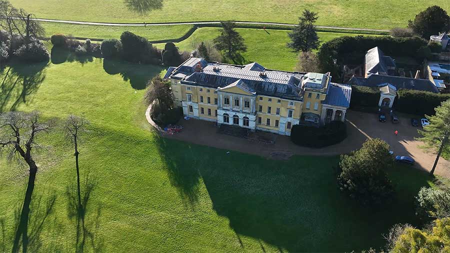
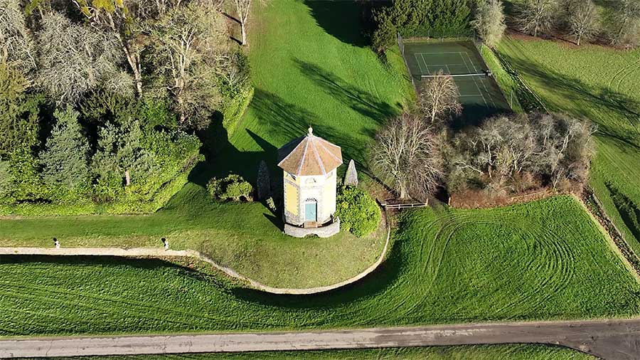
Location: West Wycombe House
Service: Measured Building, 3D Laser Scanning
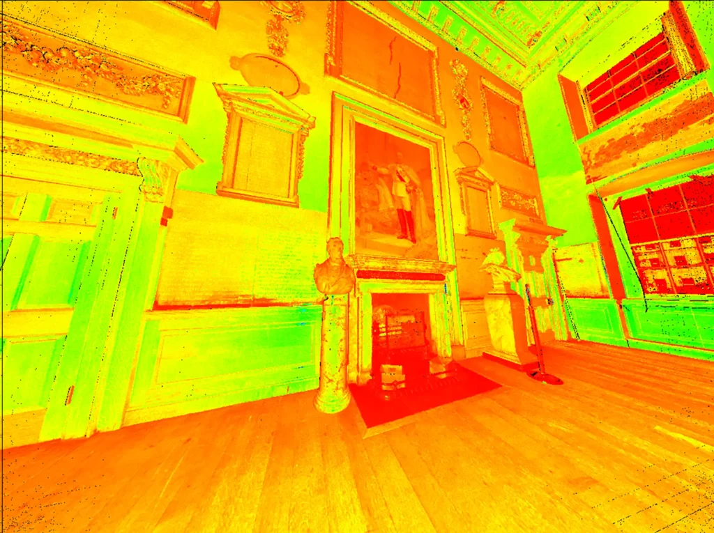
A 3D laser scan and drone photogrammetry of Grade I listed West Wycombe Park House and peripheral buildings on behalf of the National Trust.
The survey comprised internal and external elevations captured using a terrestrial 3D scanner, with the roof and surrounding grounds and buildings captured using an unmanned aerial system (UAS). Due to the precious nature of the house and its contents the upmost care was required to ensure no damage occurred. Use of the Leica RTC360 scanner allowed for efficient and unintrusive capture of the internals and external elevations, whilst the UAS allowed for quick accurate measurements of peripheral buildings and otherwise difficult and costly to access roof spaces.